


Central Precinct, Merrick County, Nebraska
About
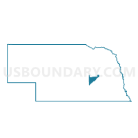
Outline

Summary
| Unique Area Identifier | 613626 |
| Name | Central Precinct |
| County | Merrick County |
| State | Nebraska |
| Area (square miles) | 15.34 |
| Land Area (square miles) | 15.34 |
| Water Area (square miles) | 0.00 |
| % of Land Area | 99.99 |
| % of Water Area | 0.01 |
| Latitude of the Internal Point | 41.17102910 |
| Longtitude of the Internal Point | -97.91636610 |
Maps


Graphs
Select a template below for downloading or customizing gragh for Central Precinct, Merrick County, Nebraska


Neighbors
Neighoring Voting District (by Name) Neighboring Voting District on the Map
- Clarksville West Precinct, Merrick County, NE
- Lone Tree North Precinct, Merrick County, NE
- Mead Precinct, Merrick County, NE
- Prairie Island Precinct, Merrick County, NE
Top 10 Neighboring County Subdivision (by Population) Neighboring County Subdivision on the Map
- Clarksville township, Merrick County, NE (664)
- Lone Tree township, Merrick County, NE (643)
- Mead township, Merrick County, NE (170)
- Central township, Merrick County, NE (76)